Capabilities
Survey Management Solutions (SMS), a professional survey company, has been providing solutions for medium/large infrastructure and land development projects throughout the east coast of Australia for over 15 years. Committed to delivering high-quality and accurate surveying solutions, we ensure smooth project operations and successful on-time delivery.
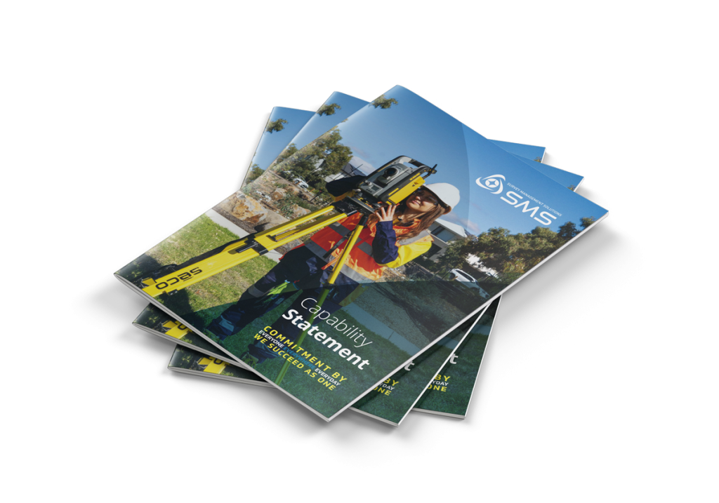
To find out more about our services, read our new Survey Management Solutions Capability Statement.
PROJECT SURVEY MANAGEMENT
We will help you to successfully manage your project from start to completion, with data management, design, modelling and drafting as needed to achieve a successful outcome.
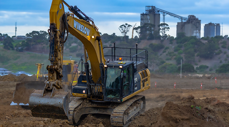
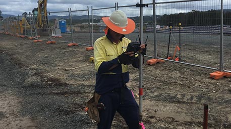
MACHINE CONTROL MANAGEMENT
A productive site demands correct management and setup of machines, and a connected site streamlines your operations to create timely and successful projects with better financial outcomes. We have developed systems that not only manage localisation of the machine guidance to project coordinates, but also extend to tracking machine activity for better financial management.
FEATURE AND LEVEL SURVEYS
Utilising SMS’s extensive experience at the start of your project, using both conventional and advanced surveying tech, will ensure that no major or costly mistakes are made as construction proceeds.
AS-CONSTRUCTED AND CONFORMANCE SURVEYS
With our detailed knowledge of construction techniques and methodologies, SMS will tailor solutions for each stage of your project. These include:
- Survey control networks
- Earthworks set out
- Conformance surveys of completed earthworks, pavements and roads
- Pavement setout, As-Constructed and Conformance
- Survey audits, quality assurance checks and As-Constructed surveys of completed works
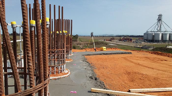
SITE CONTROL SURVEYS
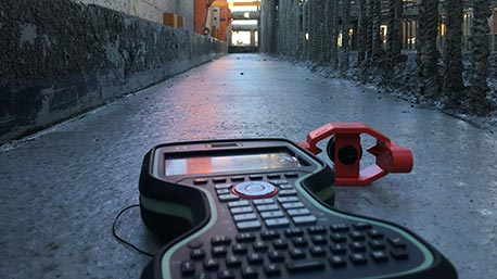
Utilising GPS, Total Station and Digital Levelling equipment, SMS offers you a precise survey control network that establishes and drives the backbone your project right from the outset.
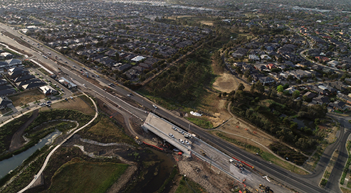
SET OUT FOR CIVIL CONSTRUCTION
SMS have extensive experience in civil and infrastructure construction including:
- Earthworks
- Road & Rail Construction
- Drainage and other Utility Construction
- Sewerage Reticulation
- Concrete Structures
- Bridges and other types of Infrastructure
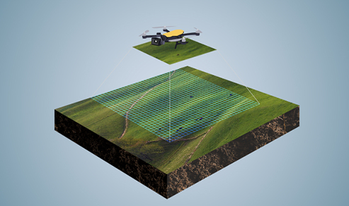
PHOTOGRAMMETRY
RPAS can deliver accurate and spatially correct imagery records of your project and the data capture can be done without disturbing the public, traffic and construction works.
UTILITY MAPPING
We have the expertise to find and protect all services for the safety of your project and the community.
For more information on how SMS can help your project to run smoothly and successfully, please email us confidentially.
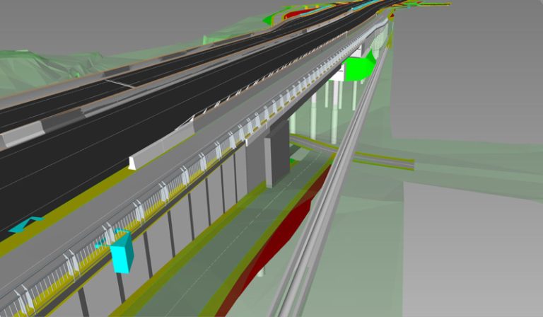
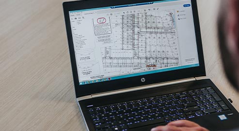
DIGITAL ENGINEERING
We are leaders of spatial science innovation.
SMS has built a reputation for its ability to handle challenging infrastructure projects in a timely and cost-effective manner.
That skillset is, in part, due to its commitment to investing in and applying advanced technology and state-of-the-art equipment to deliver time and cost savings and truly innovative solutions.
Our surveying teams have the most advanced technology and equipment at their disposal because we partner with software developers to create custom-designed systems and programs that deliver improved accuracy and enhanced agility on all our projects.
We are leaders of innovation in Australia for pioneering and investing in game-changing technology, including 3D technology, Augmented Reality and 3D/4D modelling, which enable us to provide cost-effective solutions.
Our pioneering 3D Underground Utility Avoidance system, which is a game-changer for the civil construction industry, allows machine operators to dig as close to within 50mm of services, which have been mapped out by our surveying teams.